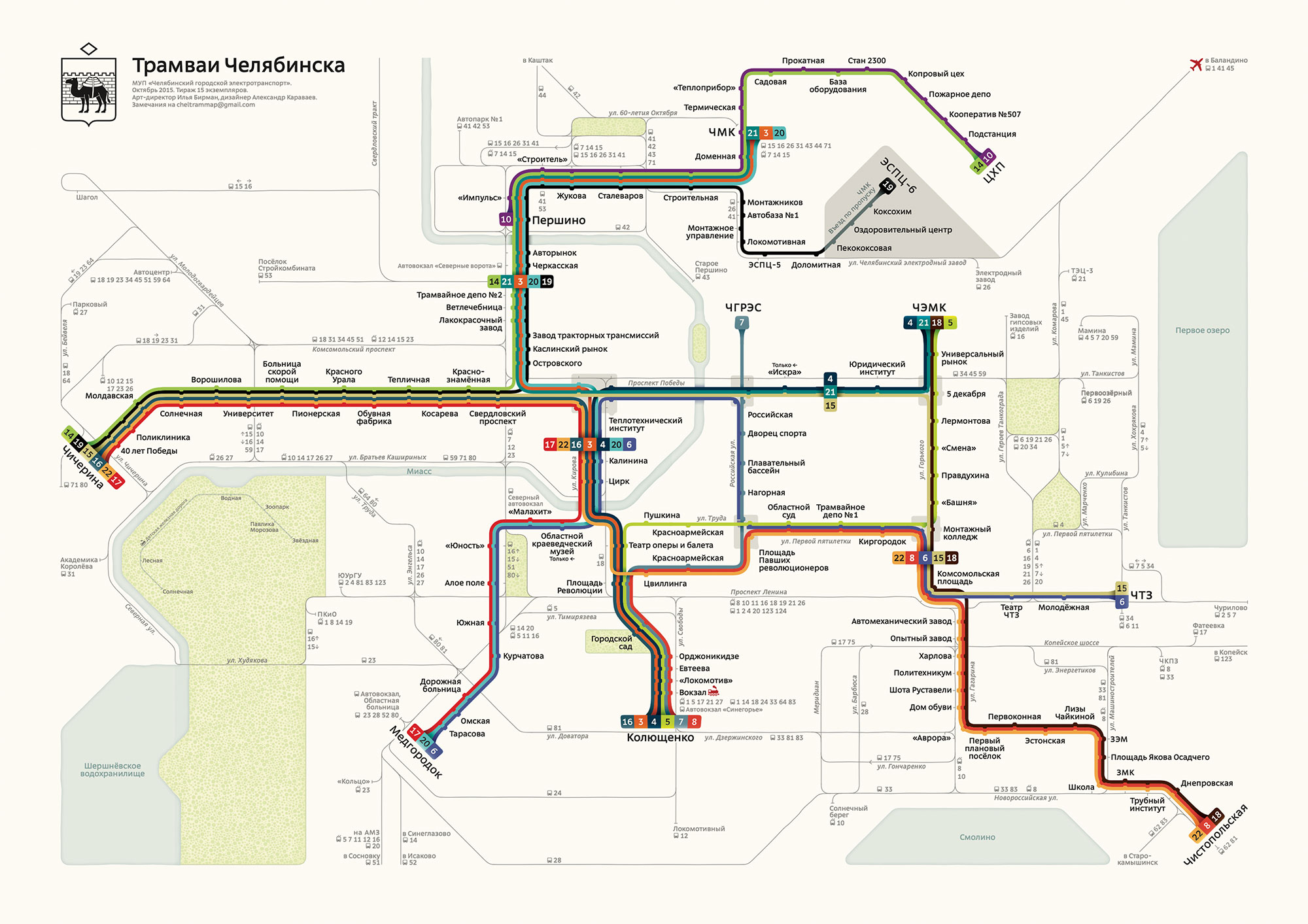
Official Chelyabinsk Trams Map
2015
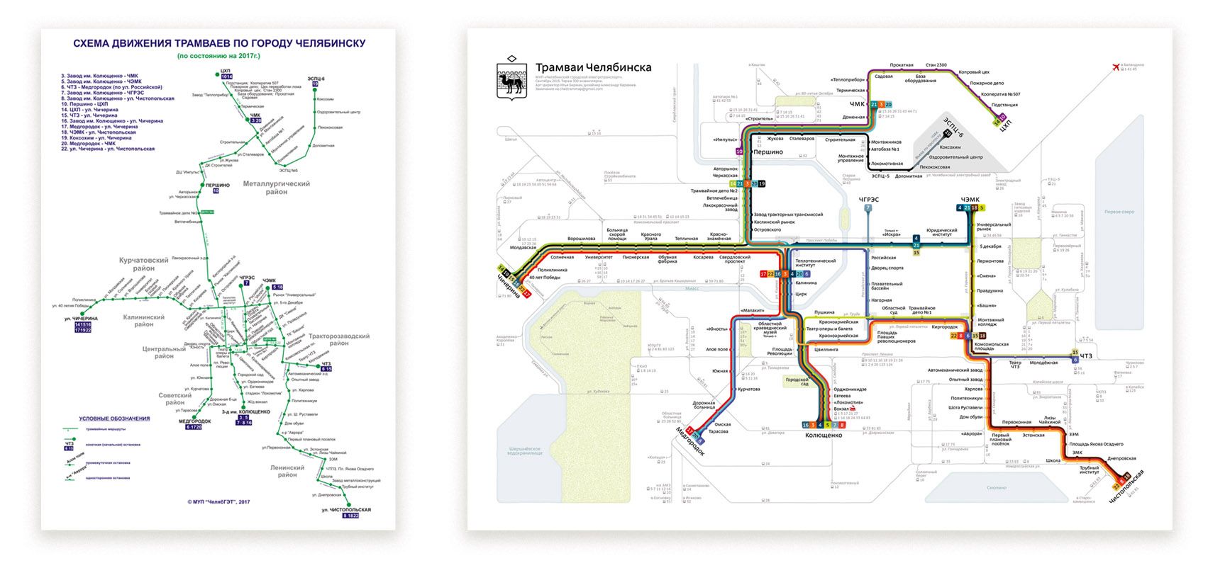
The new official map of Chelyabinsk tram routes:
 Download PDF
Each route is a separate line
Each of the 16 routes is displayed with a separate line. The colours are chosen so that they do not mix in all lighting conditions and can be distinguished by people with colour perception problems.
Giving up geography
As a result of not repeating geography, all stop signatures have been placed evenly, making the layout easier to use.
Parks, lakes and river
Chelyabinsk has several large and recognisable parks, a river and three lakes. By adding them to the map, we've connected the lines and geography of the city. Now a simple glance at the diagram is enough to understand which way the tram is going in the city.
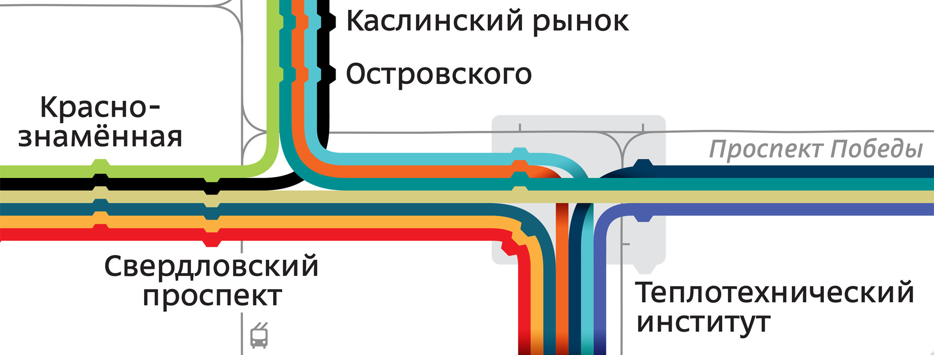
Beautiful details
We paid a lot of attention to beauty. The end-stop markings are the most beautiful in the history of the schemes. Stops are marked with special trapezoidal stubs to avoid unnecessary vibration in the eyes.

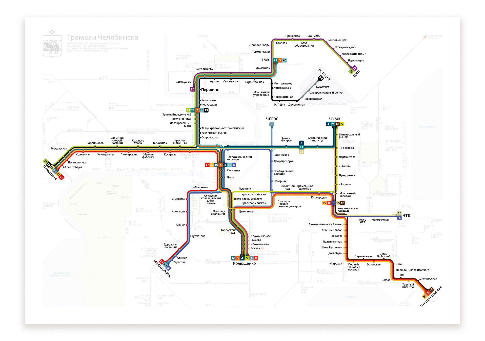
Before and after
Influence
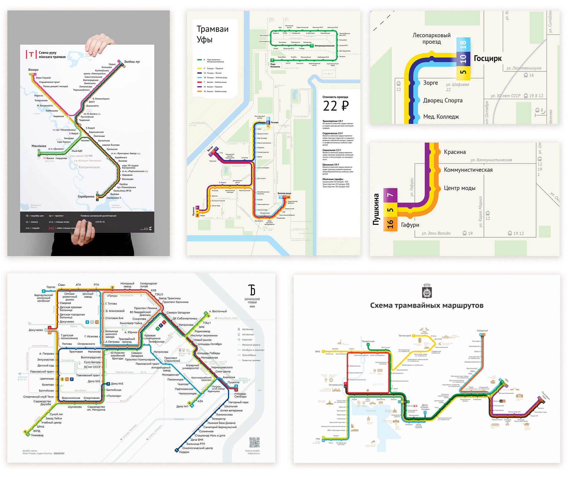
Our transit map has become a notable event in Russian design community. Since then, many transit maps have appeared which have borrowed some of our findings. I can't hide it, it's a pleasure.
Team
Art-director Ilya Birman
Designer Alexander Karavaev
Special thanks to Viktor Redka for his support and help with the project.